Regional library
Mauritius is one island with several hiking climates.
Start with landscape and location, then choose the exact named route. Each regional page explains the planning differences a map cannot show.
National park and upland forest
Black River Gorges
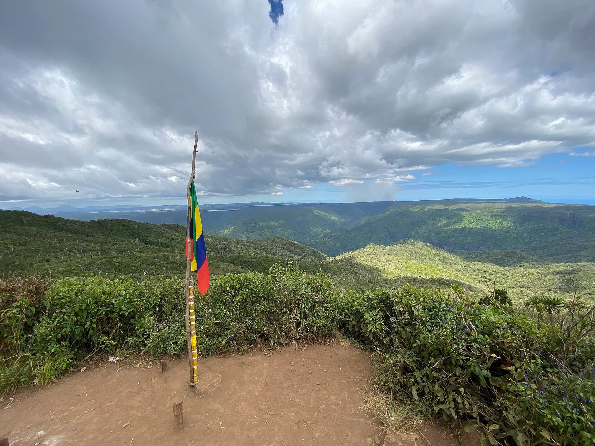
Compare the official trails of Black River Gorges, understand what the park listing proves and plan for mud, junctions, cloud and different route lengths.
Coastal mountain and waterfall terrain
West and south-west
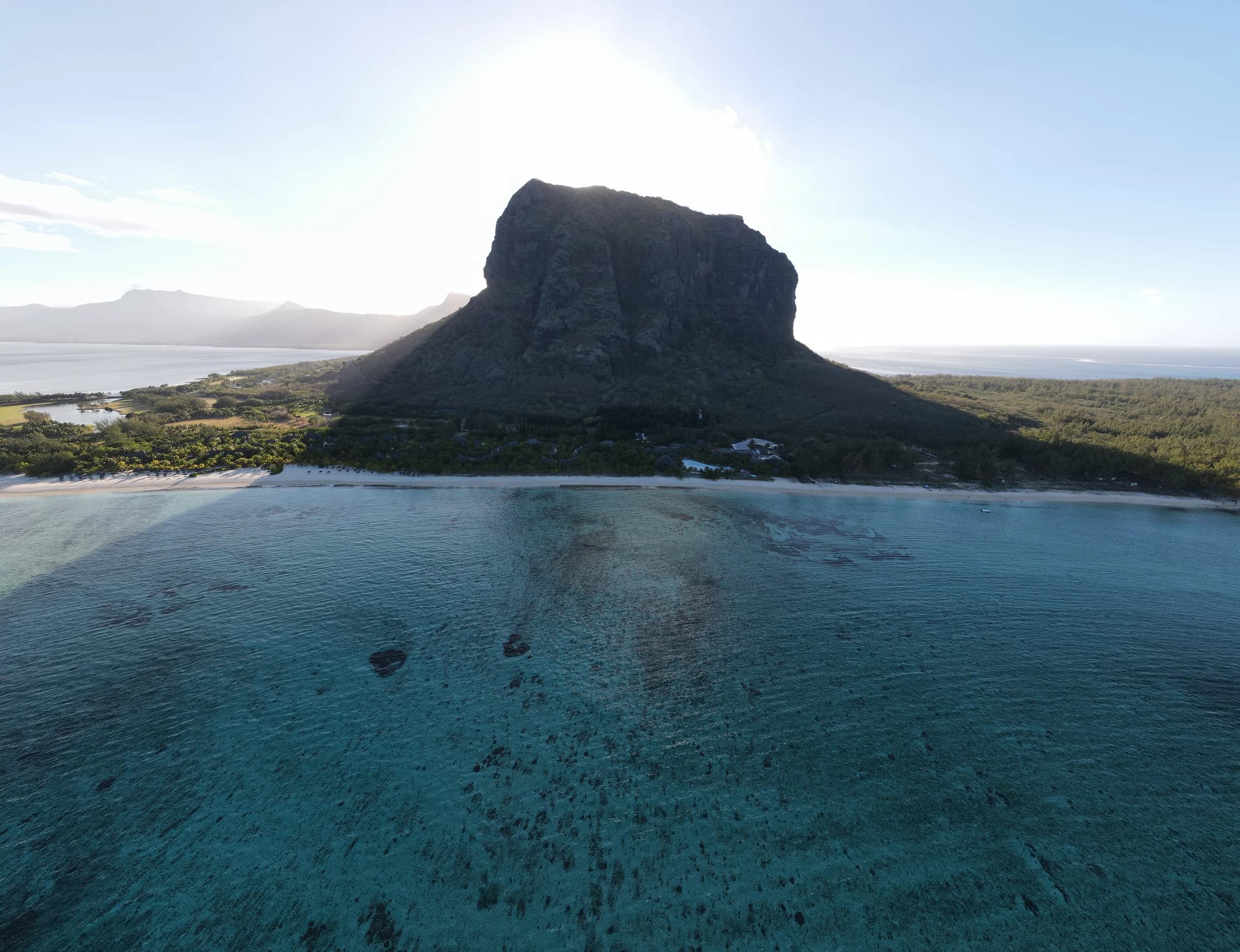
Compare Le Morne and Tamarind Falls planning, where exposed coastal rock and complex waterfall access require very different decisions.
Central peaks with different consequences
Moka Mountains
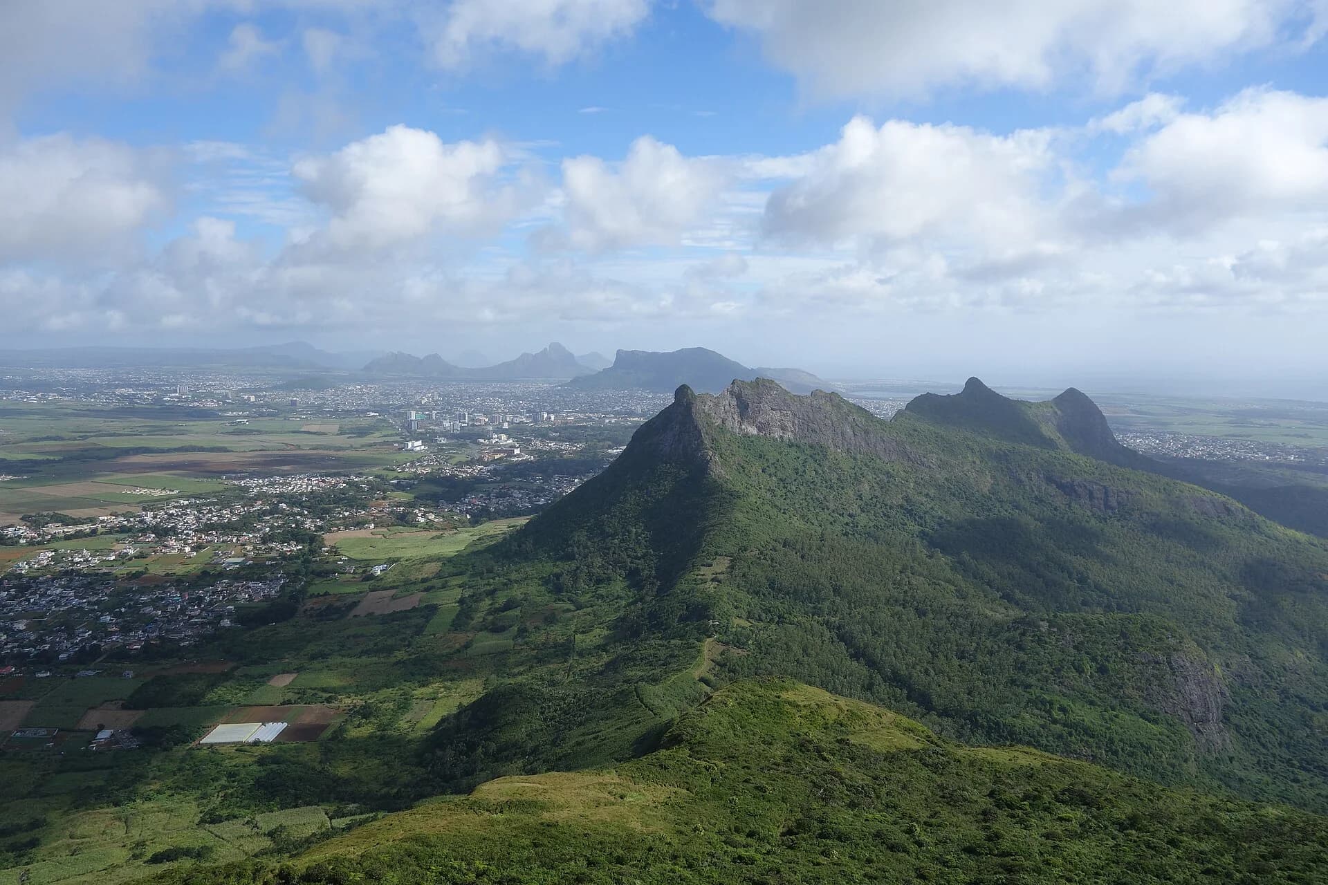
Compare Le Pouce and Pieter Both without flattening a steep hike and a rope-assisted technical objective into the same mountain list.
Managed reserves and future verified routes
East and south-east
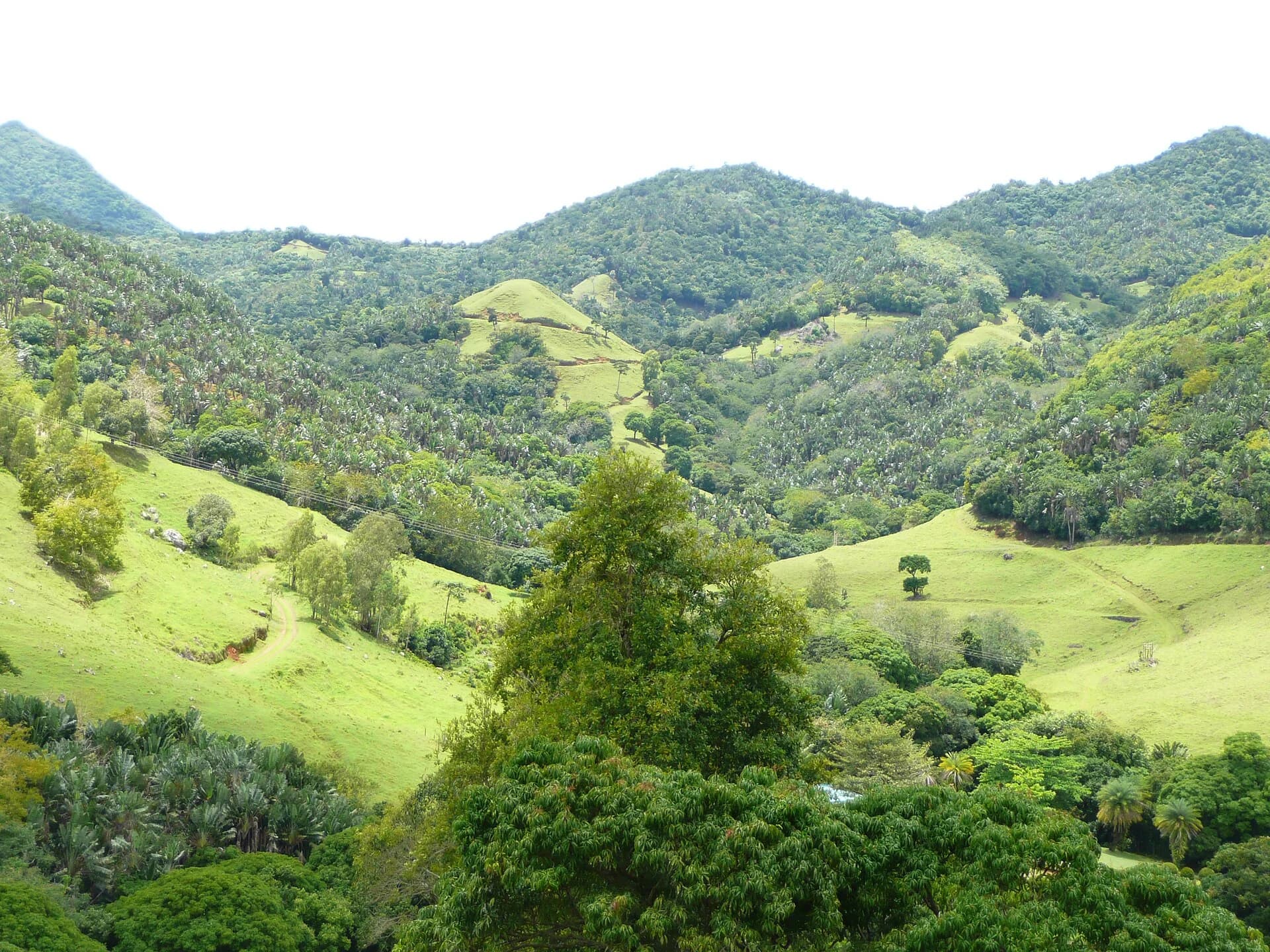
Start with manager-backed Ferney route information and understand why eastern trail candidates stay out of the directory until their evidence is complete.