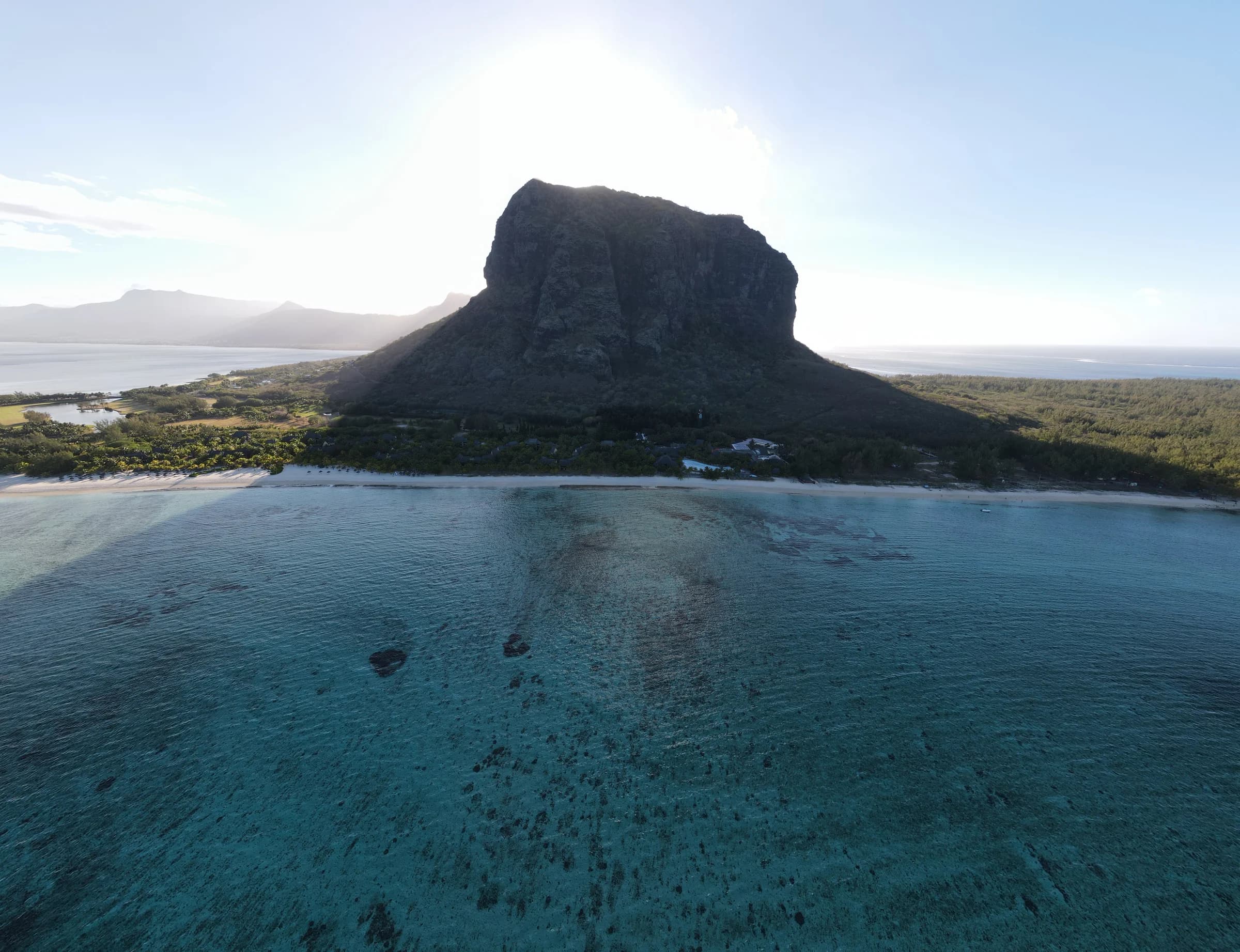
Le Morne
Full route to the metal cross
About 6.6 km return to the metal cross3.5 to 4.5 hours
Section 2 and summit access closed
Find the mountains, forests and waterfall valleys of Mauritius. Tap a pin or swipe to explore.
Map loads when needed
Full route to the metal cross
About 6.6 km return to the metal cross3.5 to 4.5 hours
Section 2 and summit access closed
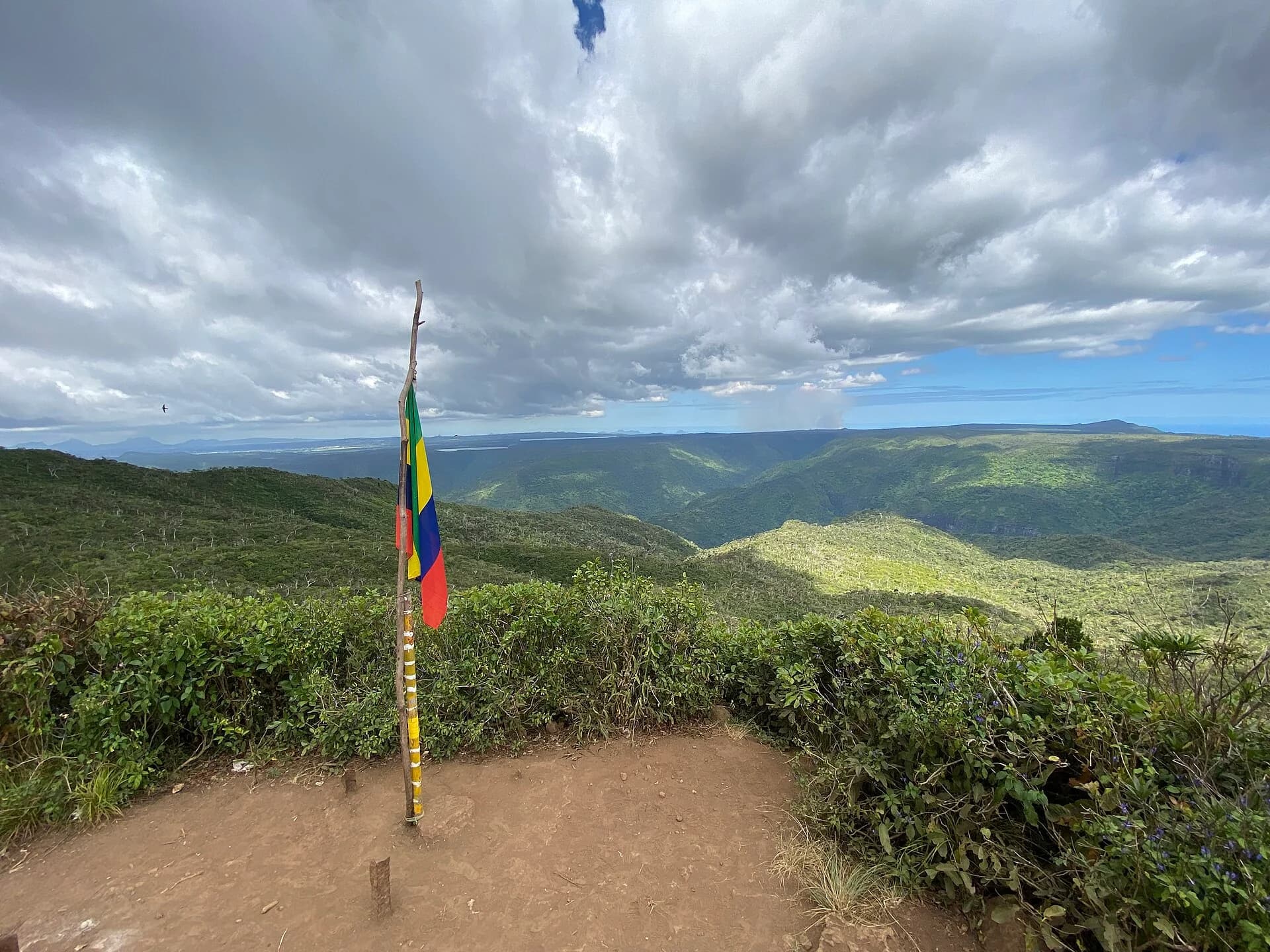
9 km returnAllow 3 to 4.5 hours
Confirm access before you go
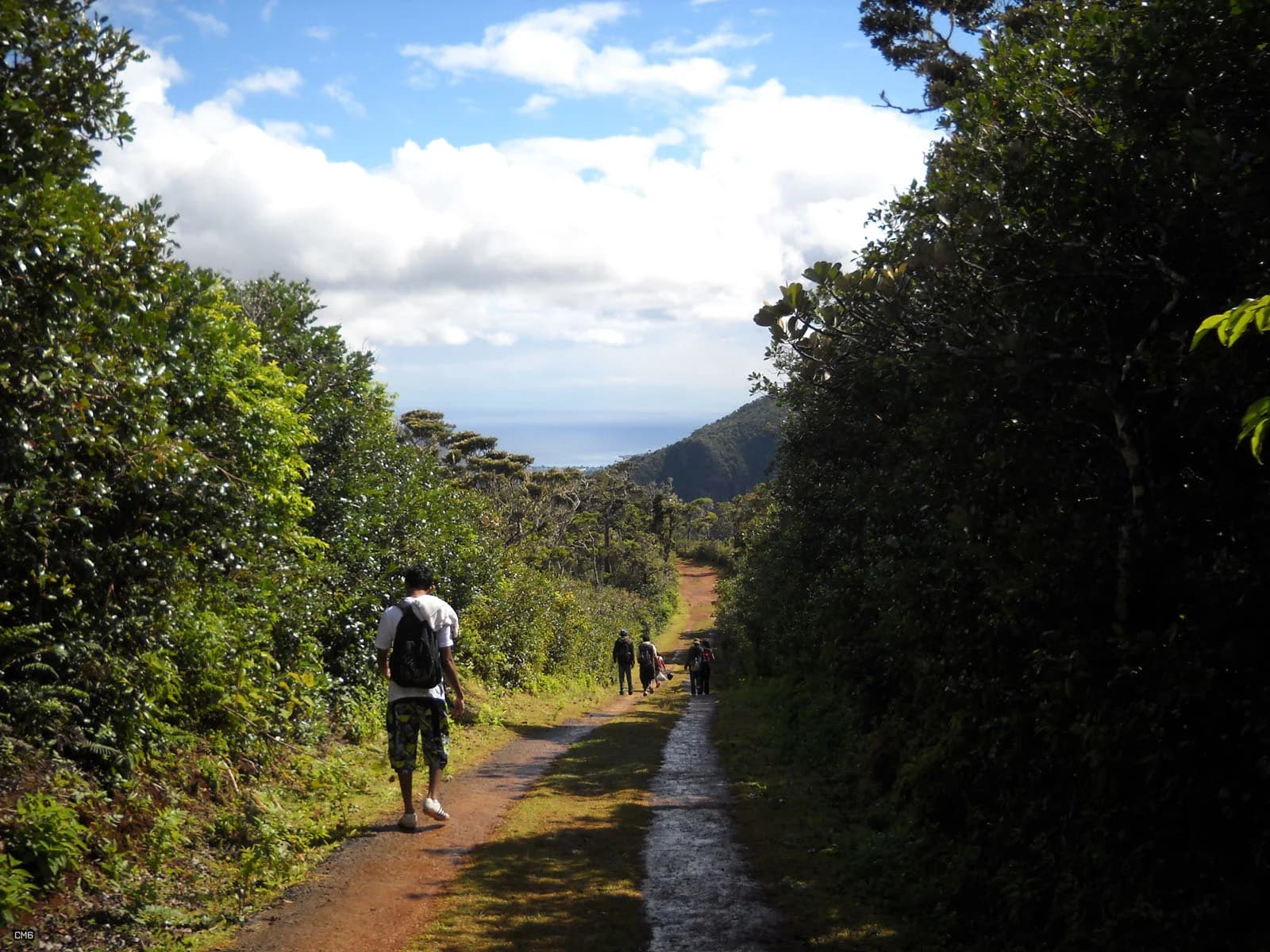
14 km returnAllow 4 to 5.5 hours
Confirm access before you go
6 km returnAllow 2 to 3 hours
Confirm access before you go
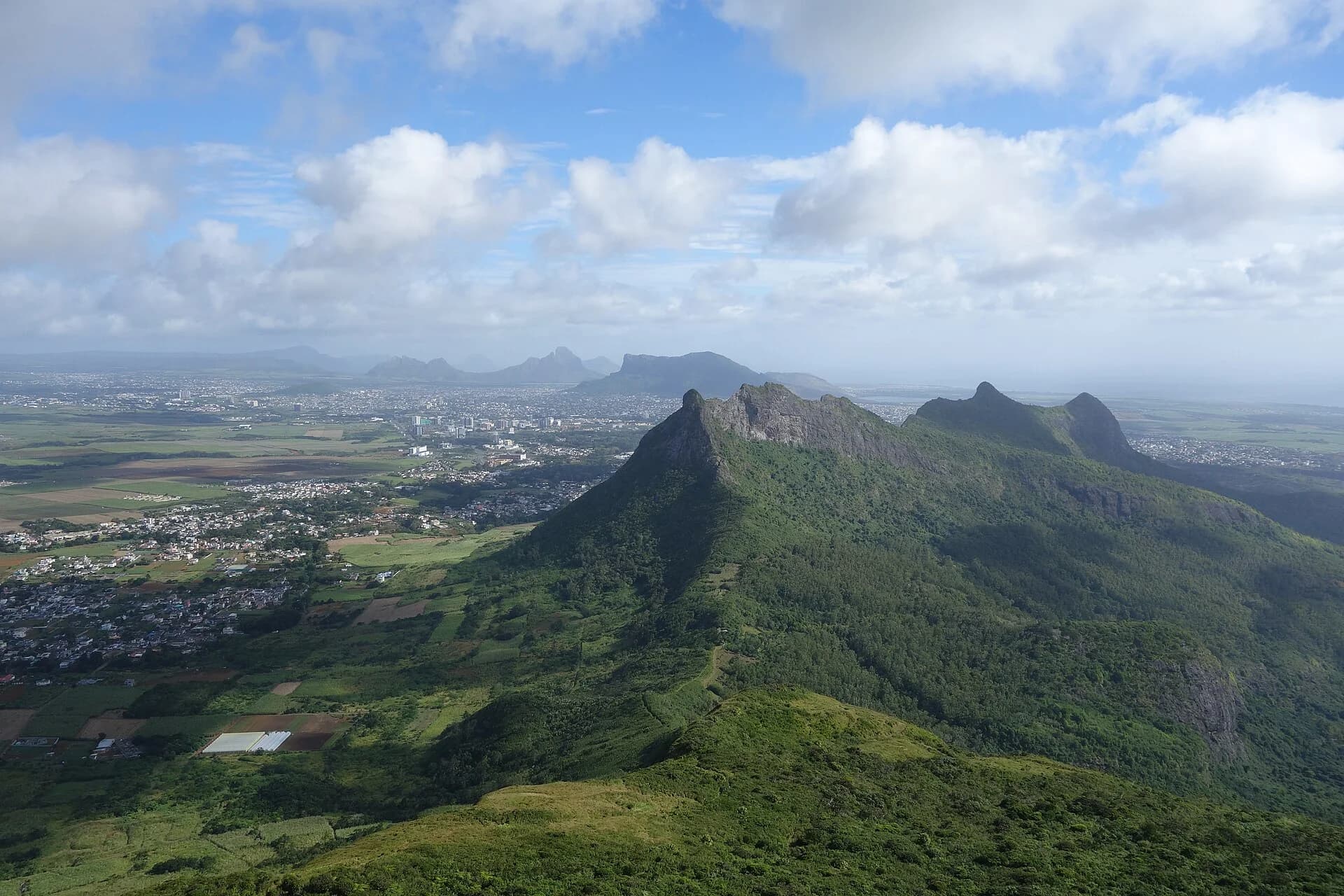
About 4 km return3 to 4 hours
Confirm access before you go
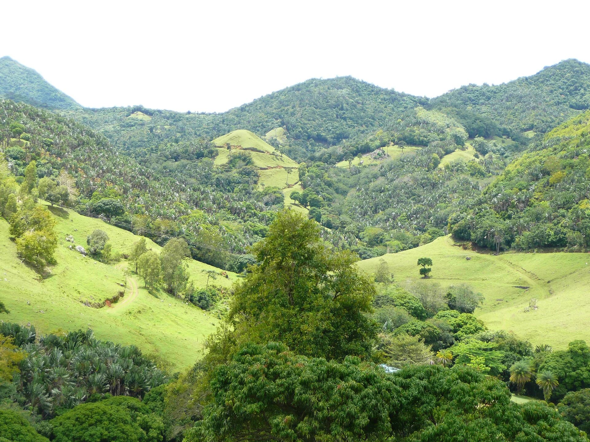
5 km loop1 to 1.5 hours
Access conditions apply
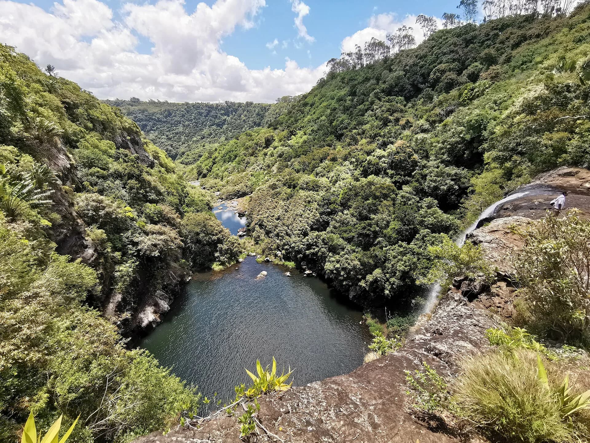
Route varies. A common guided route is about 3 kmAbout 3 hours
Confirm access before you go
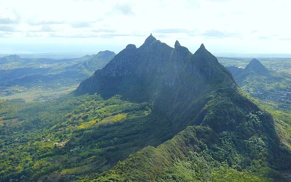
3.3 km on the cited guided itineraryAbout 4 hours on the cited itinerary
Confirm access before you go
These are approximate trail-area pins, not navigation tracks. Hikes that lie close together are spaced apart so each one stays selectable. Each guide explains its location precision and access conditions.