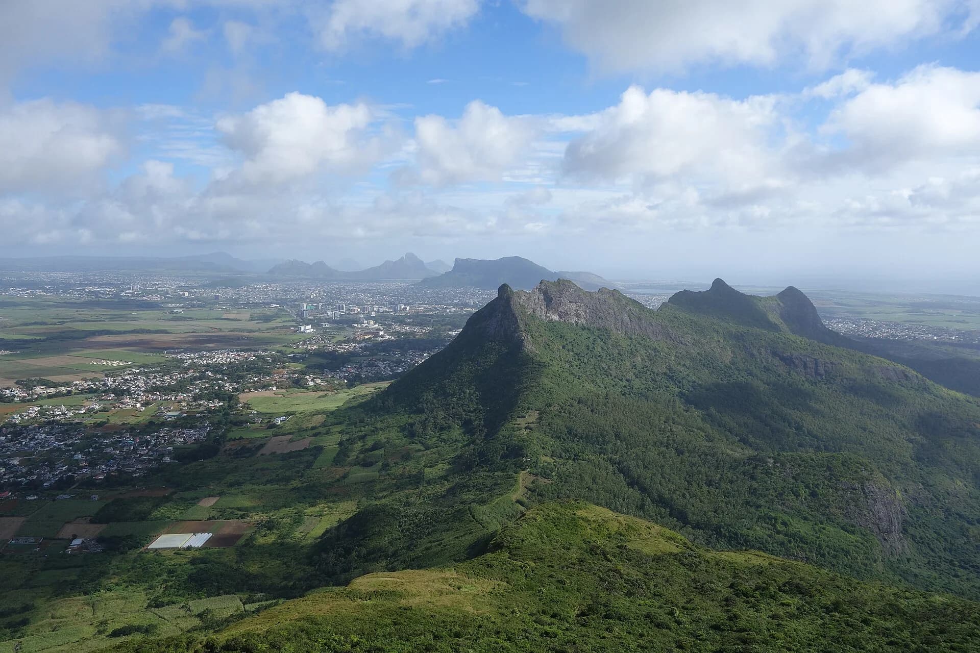
South-westRestrictedThe iconic coastal climb
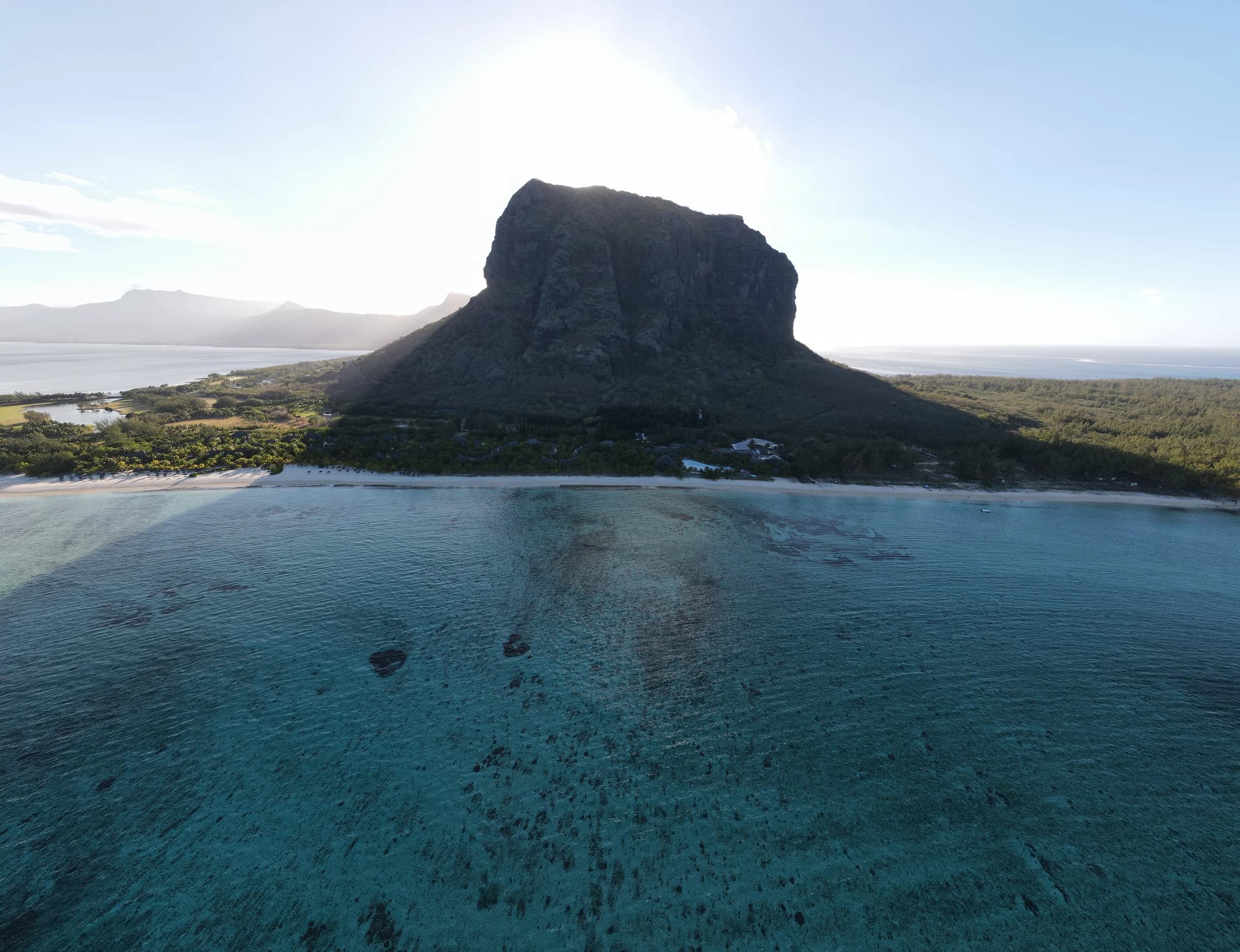
Le Morne Brabant
A gentle opening track leads to a much steeper upper section where hands, balance and a calm head for exposure matter.
Source-backed guide
Independent trail intelligence
The free hiking reference for Mauritius. Compare honest difficulty, access, weather risks and route character before you choose a mountain.

The upper section is steep and exposed. Our guide tells you where the decision becomes different.
Heavy rain can cause flash flooding downstream and landslides. Check an official warning before waterfall or gorge terrain.
Start with a reviewed page
Every page declares whether it is a source-backed guide, official-facts page, planning brief, access brief or technical overview.
See every hike
South-westRestrictedThe iconic coastal climb
A gentle opening track leads to a much steeper upper section where hands, balance and a calm head for exposure matter.
Source-backed guide
Black River GorgesStatus unconfirmedThe island's highest point
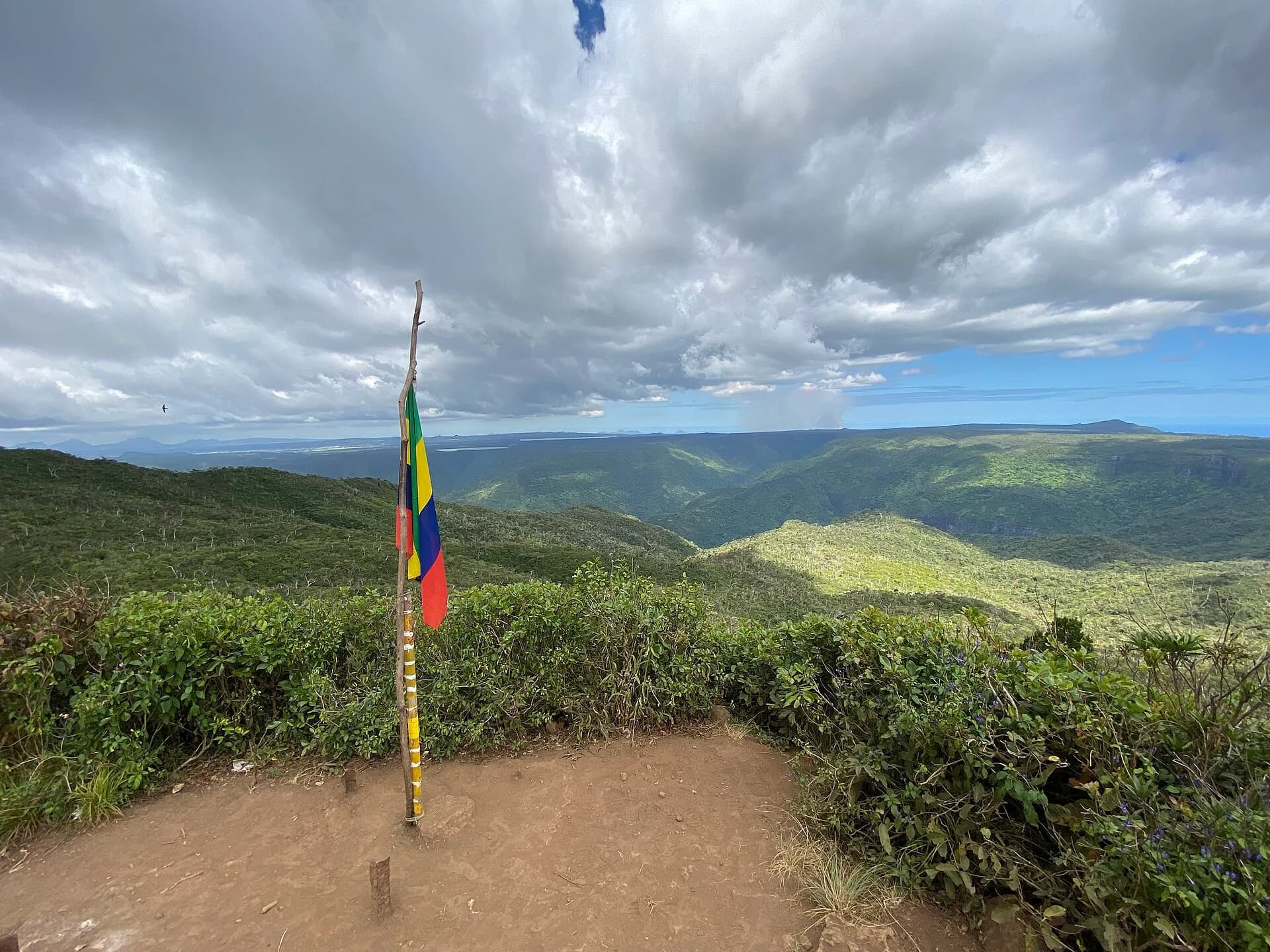
A forest and ridge walk to the highest point in Mauritius, with a more changeable climate than the coast suggests.
Official facts
Black River GorgesStatus unconfirmedA gentler highland trail
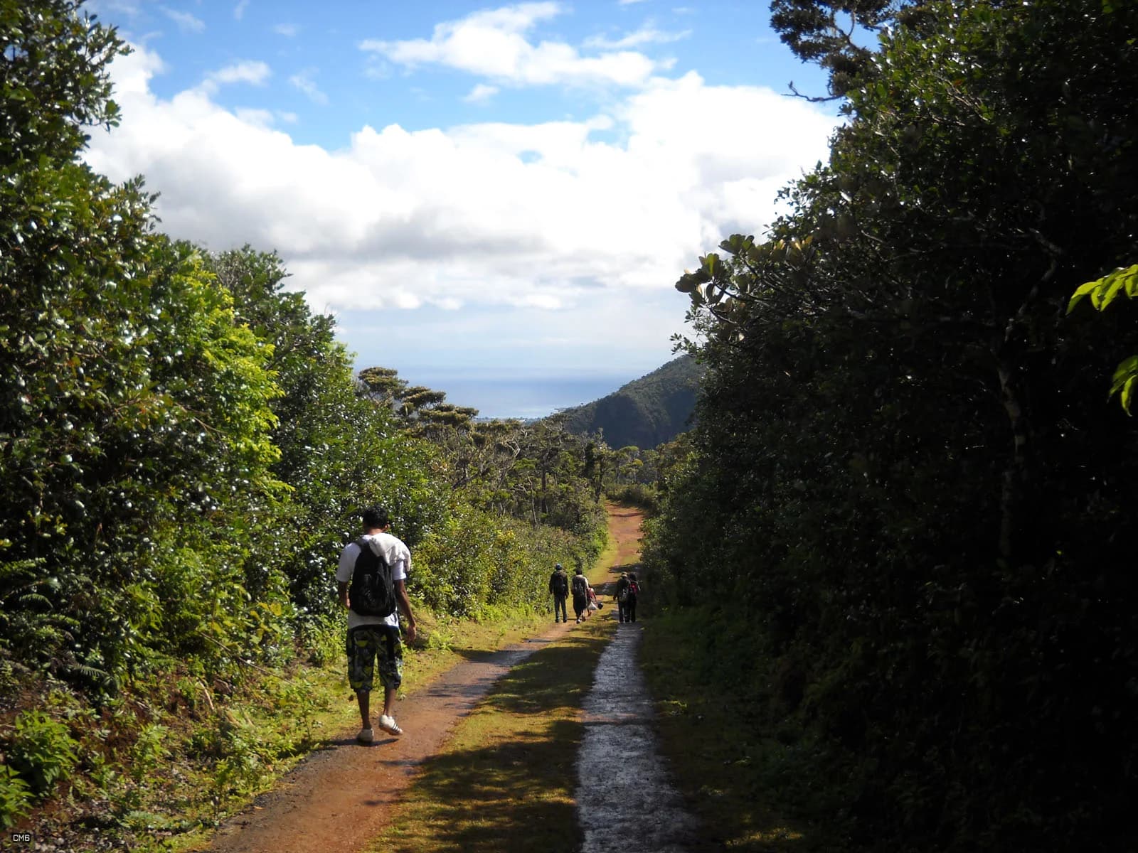
A six-kilometre national park route with a gentler profile than the island's rocky summits.
Official facts
South-eastRestrictedA managed nature reserve walk
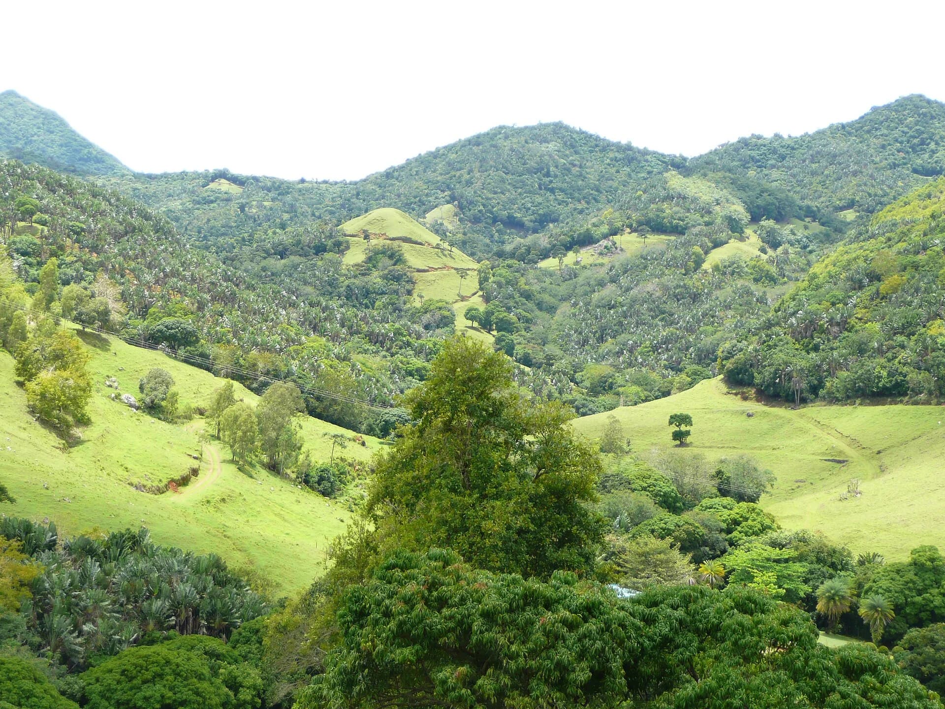
A maintained five-kilometre reserve loop with modest climbing, clearer navigation and a very different risk profile from an open mountain.
Source-backed guide
HenriettaStatus unconfirmedWaterfall terrain with real consequences
A decision guide to a complex waterfall area where legal access, route choice and water level all need current confirmation.
Access brief
Reference tools
Search pages explain a place. These tools make the trade-offs visible for your exact shortlist and trail area.
Start here
A route-by-route guide built around who each experience suits, not a universal ranking.
Open guideInteractive
See six difficulty axes, access, time, route format and family context in one matrix.
Build comparisonExact coordinates
Compare five-day rain, gust, ultraviolet and temperature context at each reviewed trail area.
Check forecastFour landscapes
Understand why coastal rock, upland forest, central peaks and managed reserves need different plans.
Choose a regionThe decision layer
A fit runner can still dislike exposure. A family can walk far and still need clear navigation. We keep those questions separate.
Navigation is rated separately from fitness. A short unmarked path can demand more judgement than a longer signed trail.
Exposure has its own rating. We explain where a trail changes character, so the summit is never a surprise.
Waterfall, mud, wind and flash-flood risks are specific to the route. A sunny coast does not guarantee safe uplands.
We distinguish what is required, officially recommended and simply helpful. Commercial interests do not decide the answer.
Explore the island
Map pins deliberately show a trail area. A pin is not a route, a legal access claim or a promise that the trail is open.
Use the full mapMap loads when needed
Our editorial standard
AI can help compare sources and prepare translations. It cannot decide whether a trail is open, invent a measurement or replace a field check.
Read our full methodStandard 01
Opening hours, distances and access rules point to the authority or field source that supports them.
Standard 02
Effort, technical movement, navigation, exposure, water risk and access complexity stay separate, because one word is not enough.
Standard 03
A forecast is not an official closure notice. Unverified access never quietly becomes open access.
Standard 04
A public correction route will launch only when a named editor and review process are ready to respond.