For mountain and lagoon views
Start with Le Morne's currently accessible visitor section. The lower viewpoints and the historical upper climb are different objectives. The live section notice determines which of them can be considered.
Plan a coastal mountain walk or evaluate a waterfall outing. Understand the difference between Le Morne's visitor sections and Tamarind Falls' route-specific access and water conditions.
Start with Le Morne's currently accessible visitor section. The lower viewpoints and the historical upper climb are different objectives. The live section notice determines which of them can be considered.
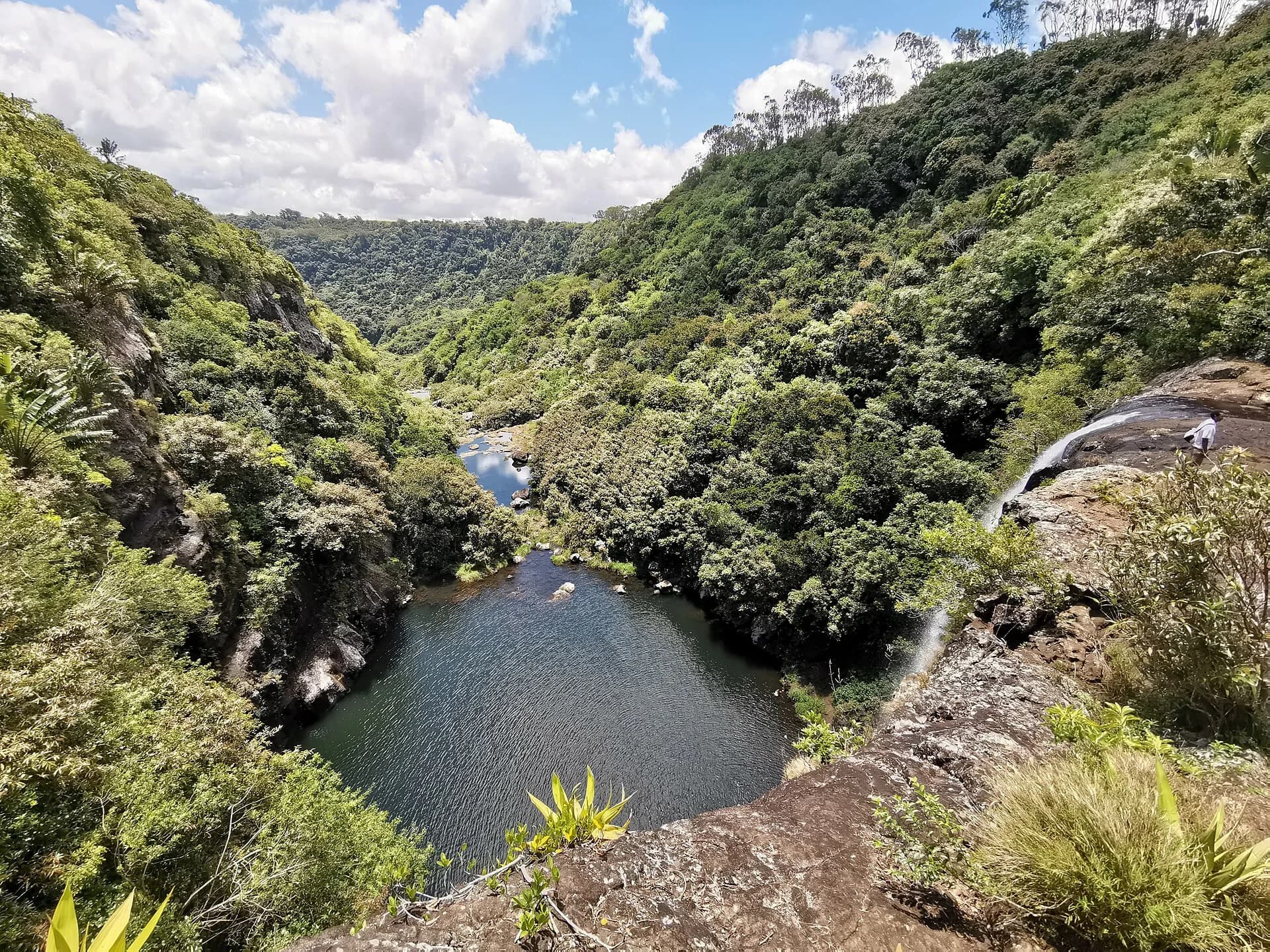
Evaluate a specific permitted Tamarind Falls outing. Ask about the approach, steep movement and conditions on the day. A short recorded distance does not make a gorge route equivalent to a gentle coastal walk.
Discuss heights, uneven footing and the return before choosing either outing. A lower mountain finish or a different managed walk may fit the group better than trying to satisfy a summit or waterfall-count expectation.
Keep an alternative that does not depend on the same conditions. A closed mountain section is not a reason to improvise an unconfirmed waterfall visit, and a sunny coast does not resolve rainfall or water conditions inland.
For Le Morne, read the current section-level notice and visitor instructions. For Tamarind Falls, establish the route and land-manager permission for the actual outing. Make those checks before arranging a day around photographs or older recommendations.
Leave room for travel, preparation and the descent or gorge exit. The two places are not interchangeable half-day activities just because they appear in the same region. Avoid a schedule that requires your group to hurry on steep ground to reach a second appointment.
A small backpack, secure footwear and water are useful on both outings, but the details differ. On the mountain, plan for sun and exposure. For a permitted gorge route, protect belongings from moisture and clarify any water entry separately from the walking plan.
Compare the experience, walking time and preparation before choosing your route.
Compare routes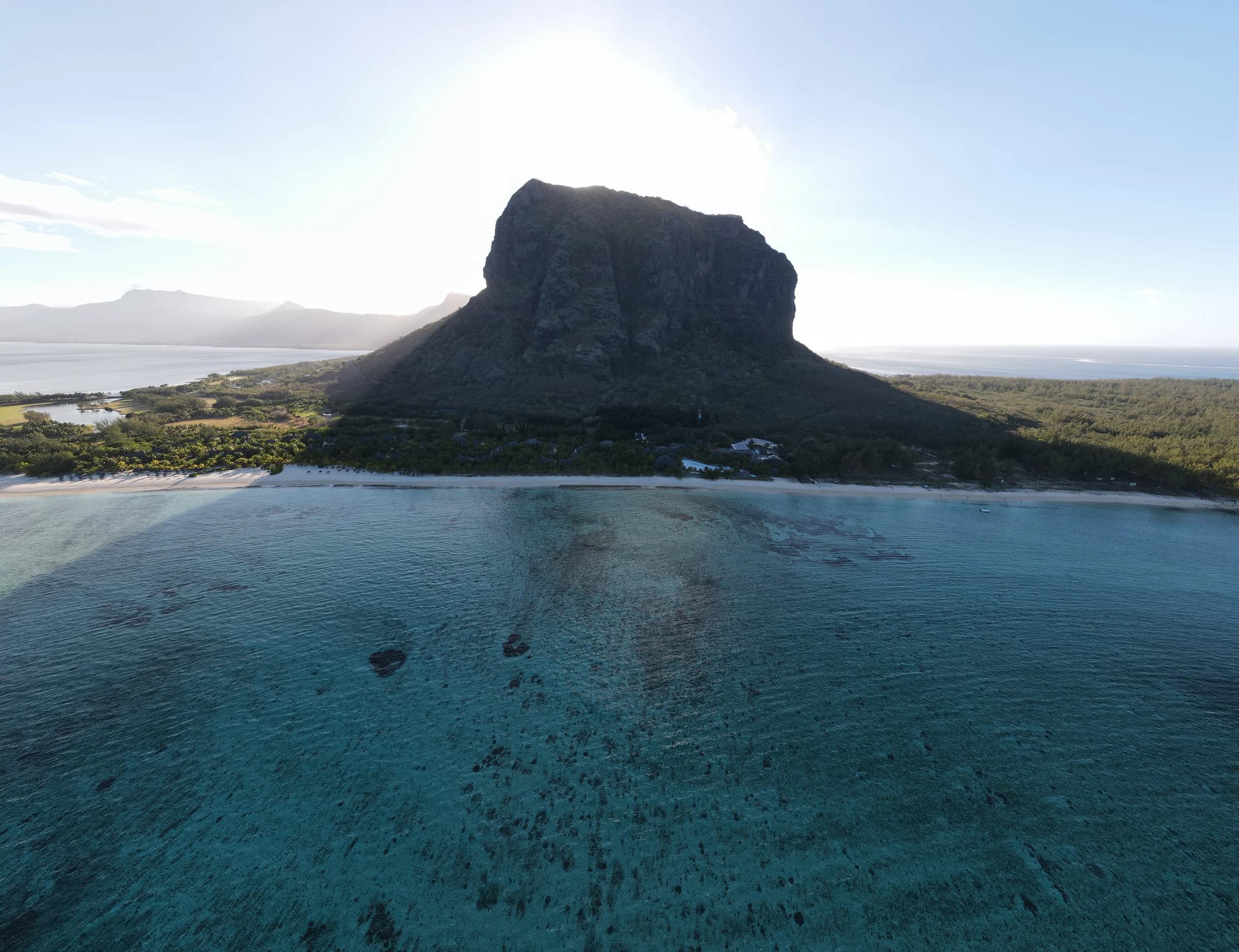
Full route to the metal cross
About 6.6 km return to the metal cross3.5 to 4.5 hours
Section 2 and summit access closed
For a coastal mountain setting. Choose your finish from the sections currently authorised, not from the historical full route.
Route varies. A common guided route is about 3 kmAbout 3 hours
Confirm access before you go
For evaluating a permitted gorge outing. Confirm the exact route and conditions before treating it as a bookable day plan.
Section 1 is open. Section 2 is closed until further notice because of rockfall danger. Access to the summit is prohibited, including with a guide. Stay within Section 1 and follow instructions at the entrance.
An official Forestry Service notice prohibits public access to Le Cabinet, identified as Tamarind Falls. Other outings may use different parcels or permissions, but a map pin or commercial route does not prove self-guided access.