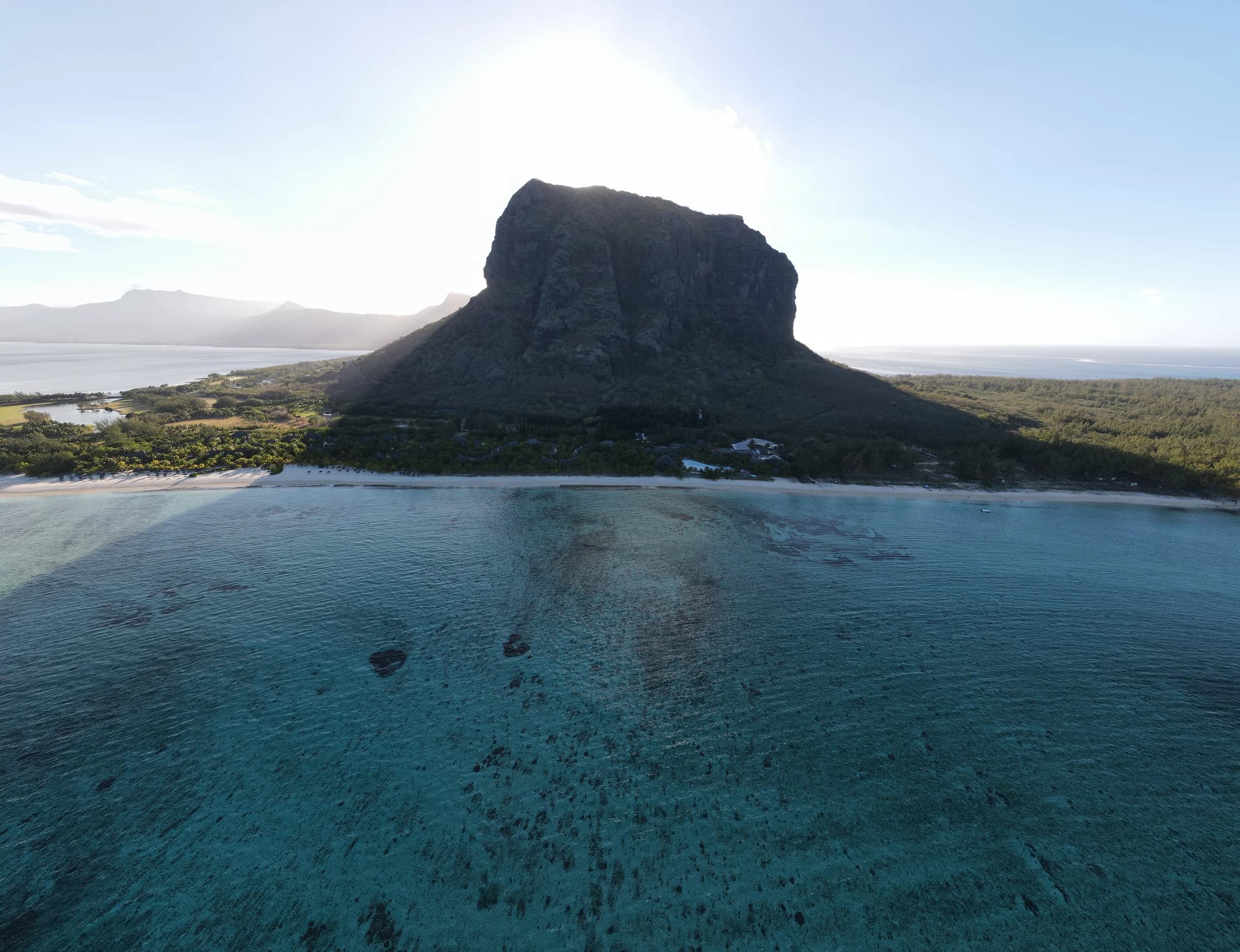
Le Morne
South-west
Section 2 and summit access closed. Figures describe the full route to the metal cross.
Find the right hike for your day. Compare up to three routes.
South-west
Section 2 and summit access closed. Figures describe the full route to the metal cross.
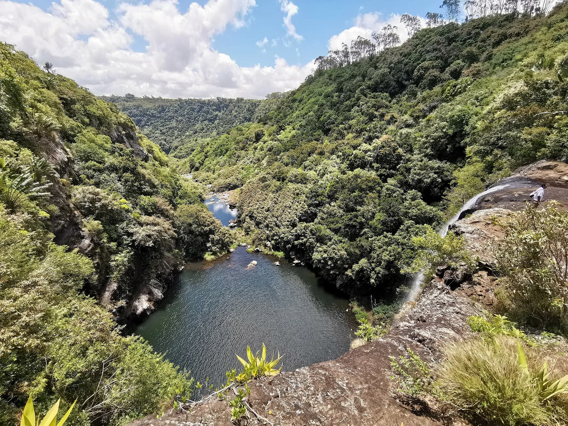
Henrietta
Prepared 20 October 2026 at 19:00, Mauritius time. Printed comparisons are dated references. Check each live guide before leaving.
| Le Morne | Tamarind Falls |
|---|---|
| Typical time | |
| 3.5 to 4.5 hours | About 3 hours |
| Distance | |
| About 6.6 km return to the metal cross | Route varies. A common guided route is about 3 km |
| Overall difficulty | |
| Challenging | Challenging |
| Physical effort | |
| Sustained climb | Steep gorge movement |
| Technical ground | |
| Hands-on upper section | Wet, hands-on terrain |
| Guide advice | |
| Recommended | Access confirmation and local guidance needed |
| Family fit | |
| Better for active older children who are comfortable with steep ground and height | Not a casual family walk. The common guided route is generally aimed at children aged 10 and over who are fit and confident on steep ground |
| Access | |
| Restricted Section 2 and summit access closed Section 1 is open. Section 2 is closed until further notice because of rockfall danger. Access to the summit is prohibited, including with a guide. Stay within Section 1 and follow instructions at the entrance. | Status unconfirmed Access needs land-manager confirmation An official Forestry Service notice prohibits public access to Le Cabinet, identified as Tamarind Falls. Other outings may use different parcels or permissions, but a map pin or commercial route does not prove self-guided access. |
| Le Morne | Tamarind Falls |
|---|---|
| Navigation | |
| Clear | Unmarked |
| Exposure | |
| High | Some |
| Water risk | |
| Weather dependent | High |
| Access complexity | |
| Hours and Section 2 conditions | Exact permission must be confirmed |
| High point | |
| 492 m official trail end | Canyon route |
| Route format | |
| Out and back | Variable route |