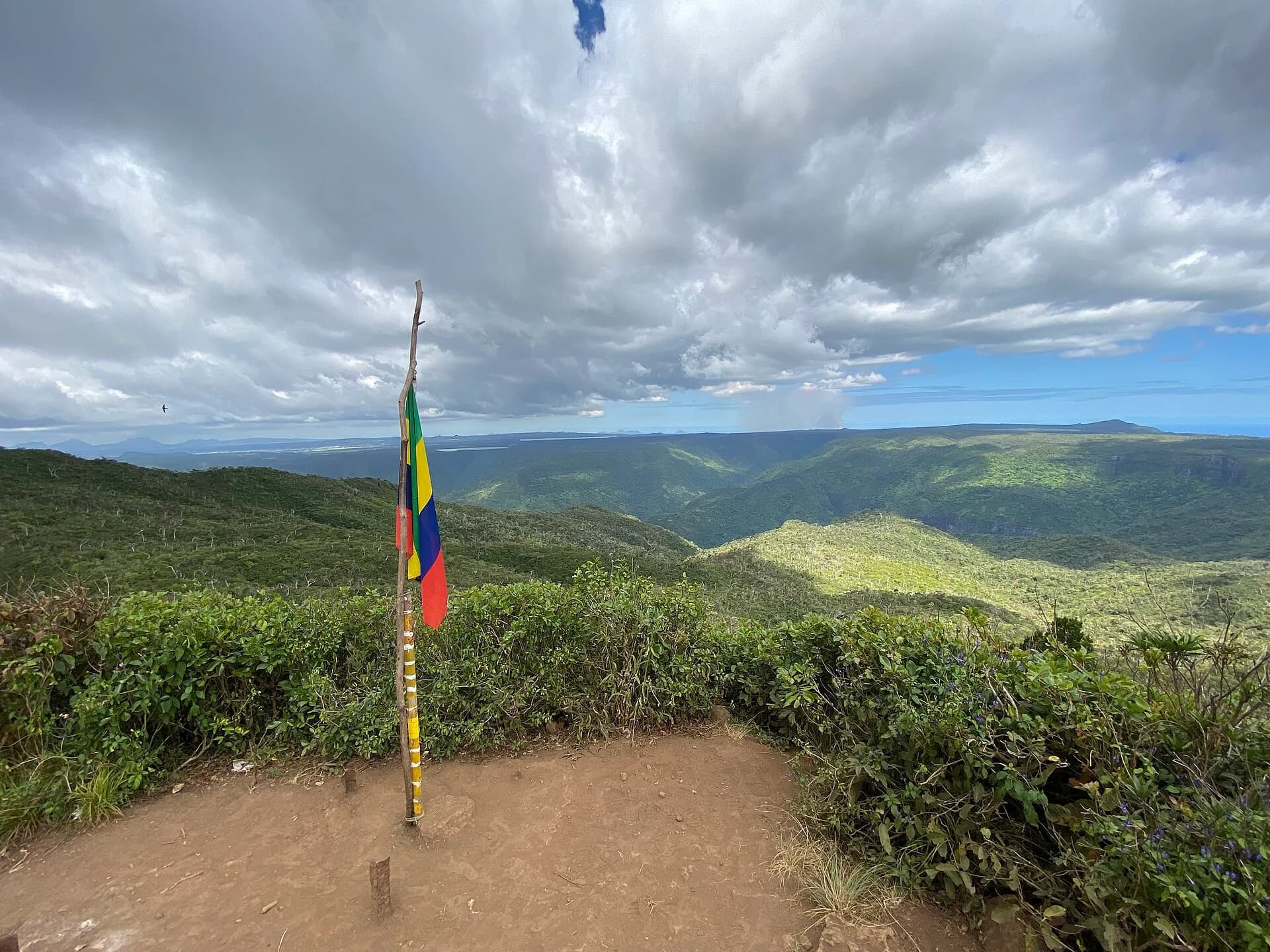
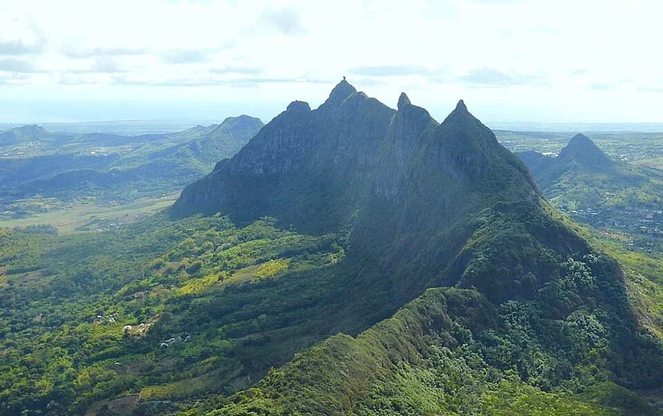
Le Morne Brabant
South-west · Out and back · Full route to the metal cross
The full visitor route combines a gentler lower track with a steep, exposed upper section to the metal cross. Check which sections are accessible before planning a visit.
Section 1 is open. Section 2 is closed until further notice because of rockfall danger. Access to the summit is prohibited, including with a guide. Stay within Section 1 and follow instructions at the entrance.
Source decision 4 October 2026 · ION News
Time and distance describe the full route, including the upper section. They do not describe the currently accessible portion.
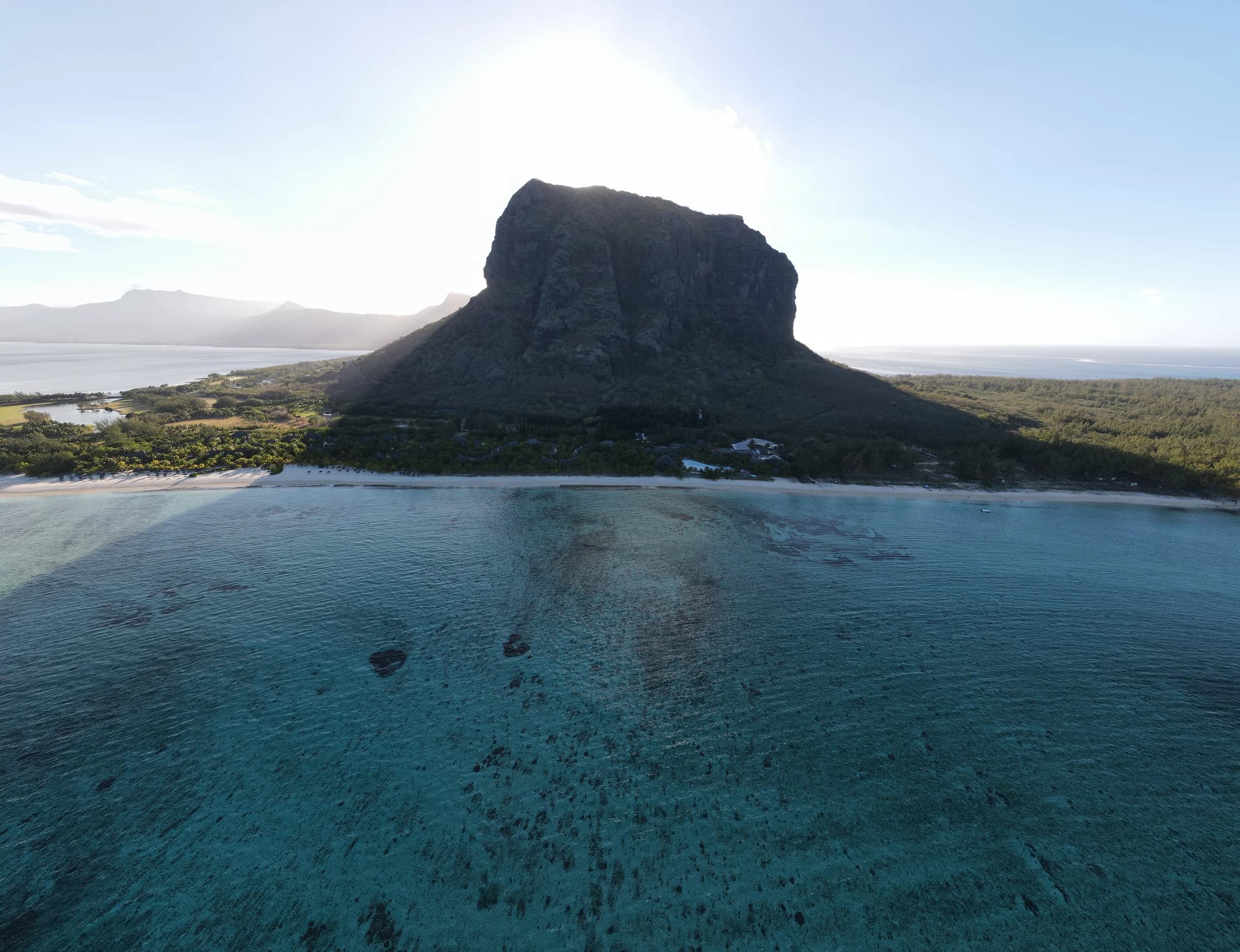
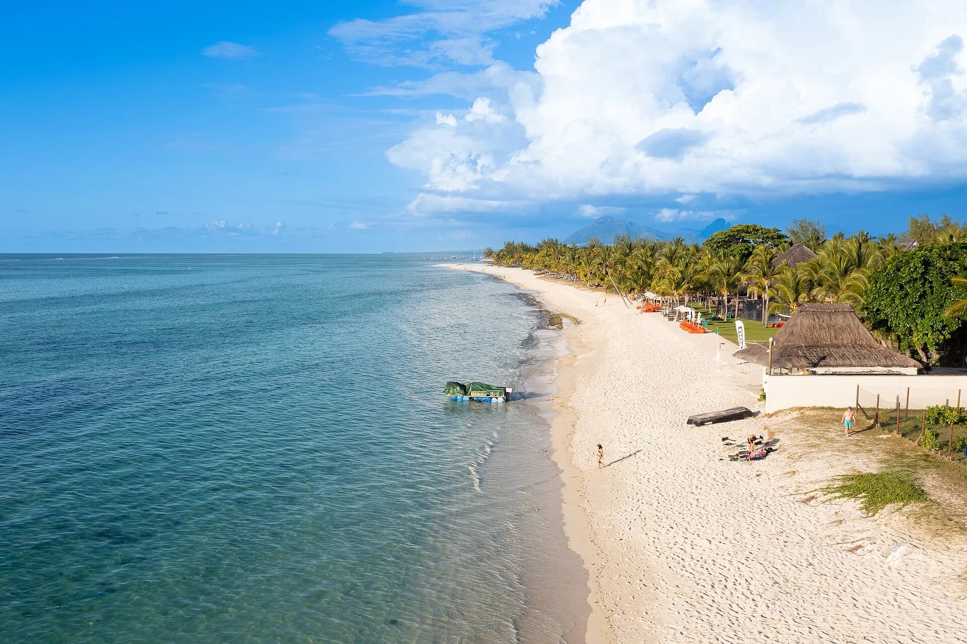
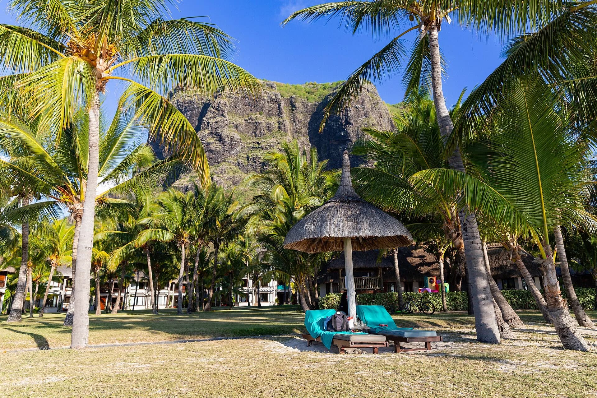
Photo by Gavish Barosee · CC BY-SA 4.0 · Photo credits and edits
What this walk is like
Le Morne is a coastal mountain with two very different experiences on the same visitor trail. The lower section climbs through vegetation and reaches broad plateau viewpoints. Higher up, the mountain becomes a much more exposed outing on rock. Choose your intended finish before setting off, rather than assuming that everyone who starts should reach the cross.
The setting is also a cultural landscape associated with maroon communities and resistance to slavery. Give the memorial and other visitors space. Views over the lagoon are part of the attraction, but the mountain deserves more time than a quick summit photograph. The full-route description below is for orientation; the current access notice determines which sections you may enter.
Le Morne is often described as a moderate hike because the first section feels approachable. That description misses the upper mountain. The final section is steep, sun-exposed and intimidating for people who dislike heights. Turning around below the upper section is a sensible decision, not a failed hike.
Understand the terrain.
Is this hike right for you?
A good fit for
- First-time visitors who want one memorable mountain viewpoint
- Confident hikers who enjoy short scrambling
- Early starts and wide lagoon views
Think twice if
- Anyone uncomfortable with exposure
- Wet or very windy days
- Hikers without water or shoes with reliable grip
Which route this guide covers
Full visitor route to the metal cross, including Section 2. Current access can exclude the upper section.
How the route unfolds
This describes the full visitor route. The upper section is included for reference. Follow the current access notice above when deciding where you can go.
The visitor entrance and lower trail
Begin at the official trailhead, sign in and read the current notice. The lower route is the broader part of the outing. Use its early climb to find a comfortable pace, adjust your pack and judge how the heat affects the group before committing to a higher finish.
The two lower plateaus
The Trust Fund describes Section 1 as passing the first plateau viewpoint and ending at the second, at 260 m. These are useful places to pause and reassess. Stay on the designated path and away from cliff edges; a lower viewpoint still needs care.
The upper rock section, only when authorised
Beyond the lower section, the character changes to steeper, narrower and more exposed rock. This part belongs to the historical full visitor route. Do not enter it during a Section 2 closure. If authorised, judge the descent as carefully as the climb before continuing.
The cross and the return
The metal cross marks the end of the authorised visitor trail, not permission to explore higher ground. Give other visitors room and keep off the memorial. Return by the designated trail with time to spare before closing, then record your checkout at the entrance.
Safety decisions
- Check the notice on mornebrabant.org before leaving.
- Do not enter during a heavy rain warning, torrential rain warning, Cyclone Class II or above, or a posted closure.
- Carry all drinking water because there is no water point on the mountain.
- Stay on the marked visitor trail and give descending hikers space on the upper section.
What to carry
- Shoes with reliable grip
- At least 1 to 1.5 litres of water per person
- Sun protection
- A small pack that leaves both hands free
Prepare your hike
Arrange the start, pack for the terrain and leave enough room for the return.
Open your planning sheetGetting there
Use the Trust Fund visitor entrance and follow the current section-level notice. The area pin is not a turn-by-turn approach.
Parking arrangements have not been independently checked.
Check the published visitor window and current entrance instructions. A guide booking does not grant access to a closed section.
Check the planning sourceSource review 7 October 2026. This is separate from a field check.
See the trail areaAccess and timing
Section 2 and summit access closed
Section 1 is open. Section 2 is closed until further notice because of rockfall danger. Access to the summit is prohibited, including with a guide. Stay within Section 1 and follow instructions at the entrance.
The published visitor window is 07:00 to 16:00, with a latest start of 14:30. Confirm the day's instructions at the entrance. The full route described below is not currently available.
Decision dated 4 October 2026. Read from the current published notice.
Current Le Morne noticeChoose an accessible finish
Read the current section-level notice before organising transport. If the upper section is closed, remove it from the plan even when a guide, older itinerary or saved track includes it. Agree a lower turnaround point with your group and the entrance staff. Do not apply the full-route distance to a shortened outing.
Allow for the descent
Work backwards from the required return to the entrance. Include the descent, pauses and a generous margin in your plan. The published latest admission time is an administrative limit, not a recommended start for every walker. Arrange your return transport around your own outing, not around a fastest recorded ascent.
Keep your hands free
Use a small backpack for water, food, sun protection and a light weather layer. Carry your phone securely instead of walking with it in your hand. Test shoe grip before committing to steeper ground. Take photographs from a stable stopping place, away from the edge and other walkers' path.
Use the official entrance
The Trust Fund asks visitors to record both arrival and checkout in the trailhead register. Save the entrance location before driving, read the signs on arrival and confirm the day's instructions with staff. Registering at the entrance helps account for visitors; it does not replace choosing a route that suits the group.
Orient yourself before driving.
This pin shows the reviewed start or trail area precision stated in the guide. It is not turn-by-turn hiking navigation.
Map loads when needed
The weather at your trail.
The coordinate forecast adds rain, gust and ultraviolet context. It never changes the access status above.
Weather methodLe Morne
A forecast is not trail status. It cannot confirm access, stream level, rock grip, visibility or whether the route is suitable for your group.
Official warningsQuestions before you go
Can I enjoy Le Morne without reaching the cross?
Yes. The lower section has plateau viewpoints and a different character from the upper rock section. Choose the part permitted by the current notice and suitable for your group. Turning back below the steep ground is a valid plan, not an incomplete summit attempt.
Is the cross the actual summit?
It is the official end of the visitor trail, at 492 m in the Trust Fund's published description. The hiking route does not authorise continuing beyond it. Historical figures for that full route also do not prove that the upper section is currently open.
Does an early sunrise booking guarantee mountain access?
No. Confirm that the proposed start, entrance and route comply with current visitor rules. A booking cannot override opening hours or a closure. Use the live notice and entrance instructions rather than assuming that a commercial departure time is an access authorisation.
Compare a different kind of outing
Le Pouce
Compare a central mountain outing with a separate shoulder and summit decision. Its approach still needs confirmation.
Ferney 5 km
Consider a managed open-track walk if exposed rocky ground is not what your group wants.
See what was checked, when and by whom.
Official-source review and field verification are kept separate. A recent source check does not mean the route was recently walked.
Source review 7 October 2026
3 cited sources support the published record. Each source has its own review date below.
Field verification not recorded
A named route-version field record has not yet been attached.
What changed in this guide
Separated route facts from current access
CorrectionConnected the published access notice and identified distance and duration as full-route figures. This is a source and presentation correction, not a field visit.
Recorded by Hiking Mauritius editorial deskPublished evidence reviewed
Source reviewThe published visitor document, section descriptions and 492 m trail end were rechecked on 7 October 2026. The 6.6 km return distance is calculated from the two official one-way section distances.
Recorded by Hiking Mauritius editorial desk
Check the evidence yourself
The published visitor document, section descriptions and 492 m trail end were rechecked on 7 October 2026. The 6.6 km return distance is calculated from the two official one-way section distances.
Morne Brabant visitor guide. The published access decision, with its own decision date and source attribution. This is separate from historical route dimensions.
Checked 7 October 2026
Le Morne Heritage Trust Fund. Opening times, closure triggers, visitor conduct and the official end point.
Checked 7 October 2026
Yanature. Typical duration, distance range and the change in difficulty on the upper section.
Checked 22 July 2026