Black River Peak Trail
Black River Gorges · Out and back
Plan the Black River Peak trail in Mauritius. Check the Gorette route, terrain, access information and preparation before setting out.
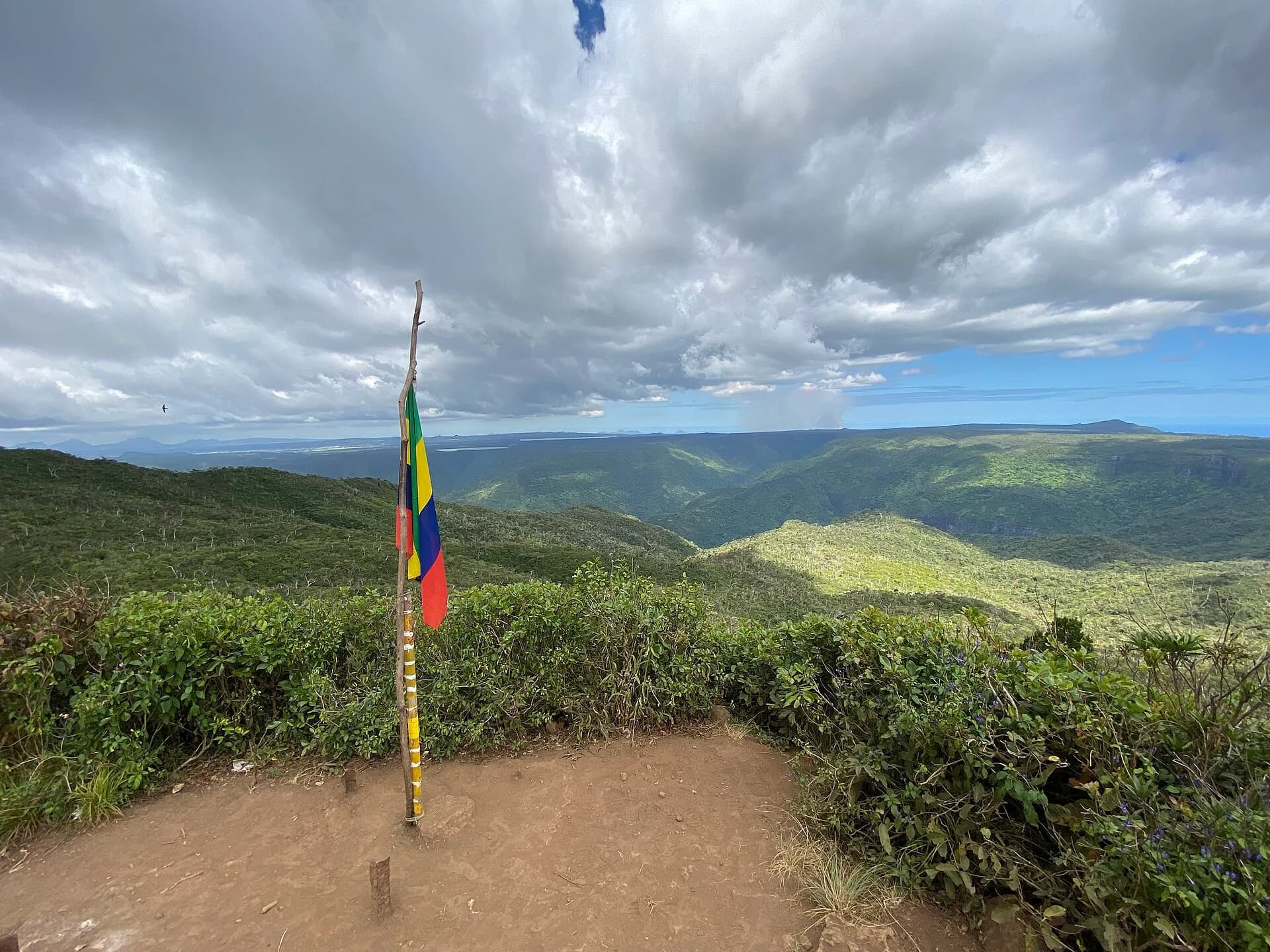
Photo by Aisler · CC BY-SA 4.0 · Photo credits and edits
The route is officially listed, but a current listing does not confirm today's opening status.
What this walk is like
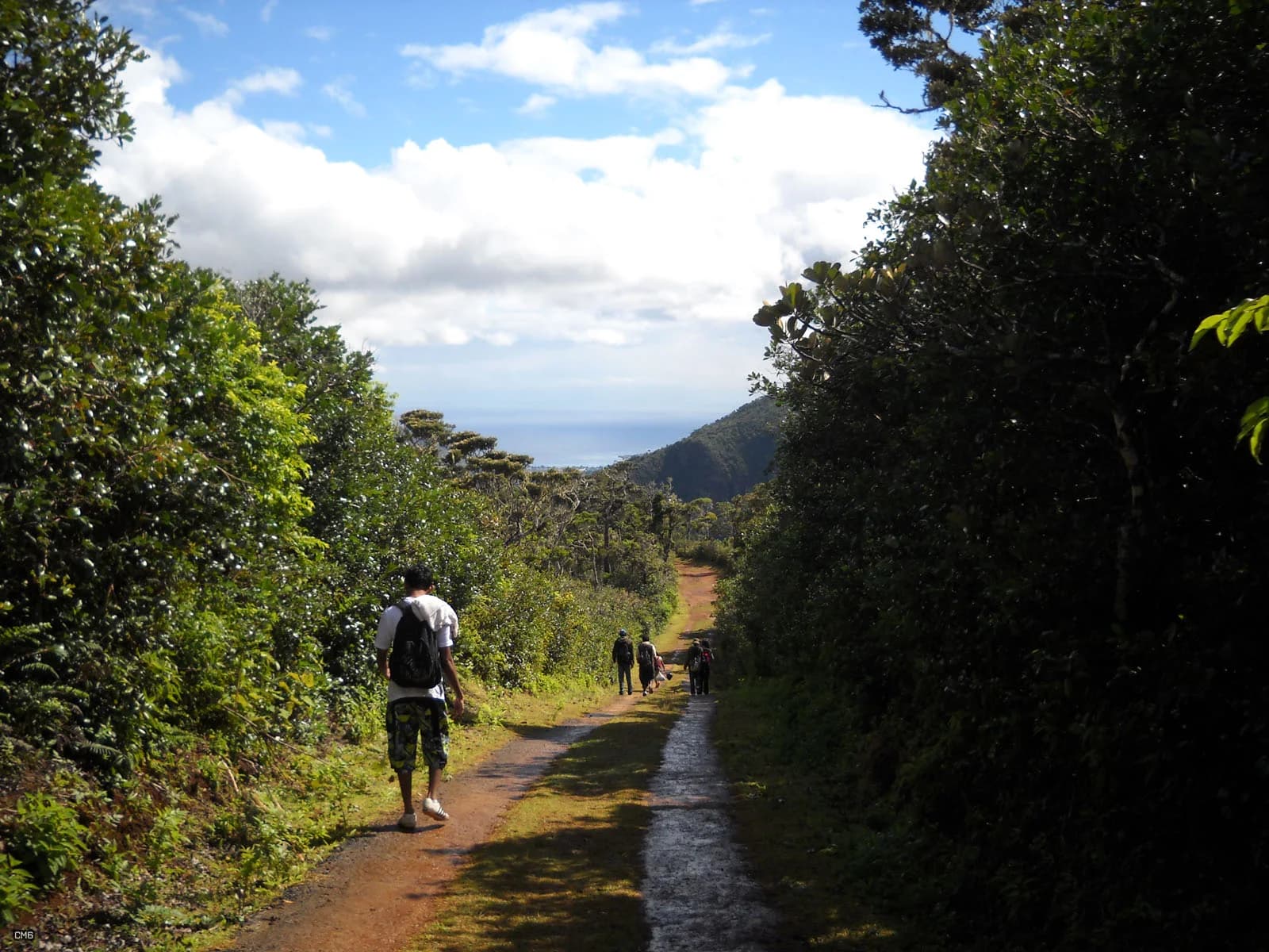
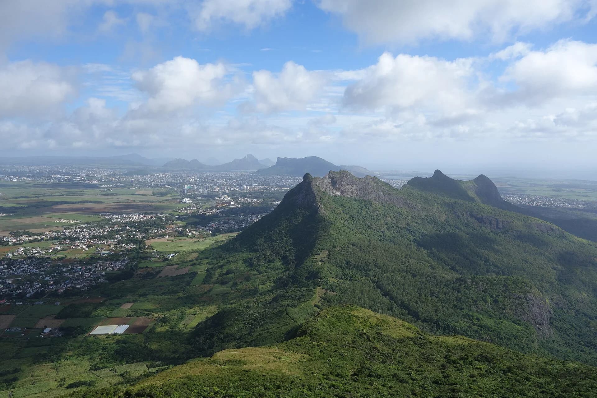
The appeal of Black River Peak is the combination of upland forest and a ridge leading towards Mauritius's highest point. This is a different experience from looking across the gorges from a roadside viewpoint. Plan time to walk through the landscape, with the summit as a possible finish rather than the only reason for going.
Height above sea level does not tell you how much climbing your day contains. The official route is the return outing from Gorette, and its published distance belongs to that route. Tracks using another approach can have different lengths and effort. Cloud can hide the panorama, so choose this walk because forest and ridge terrain appeal to you as well.
The altitude is modest by international standards, but the trail should not be judged by height alone. Upland cloud, mud and fast weather changes can make it feel longer and less obvious than a dry coastal hike.
Understand the terrain.
Is this hike right for you?
A good fit for
- Hikers who want the highest point in Mauritius
- Forest and ridge scenery
- A half-day without technical scrambling
Think twice if
- Heavy rain or low visibility
- Very young children
- Anyone expecting a continuously open panorama
Which route this guide covers
Gorette to Black River Peak and back, the 9 km route listed by the National Parks and Conservation Service.
How the route unfolds
Set out on the named Gorette route
The official itinerary starts and finishes at Gorette. Confirm the signed approach before walking and note where your return transport will be. The national park has several entrances and named walks; starting somewhere else changes the outing rather than simply providing another car park for the same route.
Find a steady rhythm through the forest
Expect the upland forest and the ground underfoot to shape your pace. Mud and roots deserve attention even where the slope feels modest. Keep the group within speaking distance at junctions and pause to check the route before uncertainty becomes a long detour.
Assess the ridge and final approach
The park describes a ridge walk that can be cloud-shrouded. Reassess visibility, footing and time before continuing towards the high point. Reaching 828 m above sea level is not the same as completing a fixed amount of ascent, and a distant summit view is never assured.
Keep energy for the way back
Return to the same named start on your confirmed route. Descending on tired legs can take longer than expected, especially when the ground is wet. Retrace junctions deliberately, take breaks before concentration fades and let your contact know when the outing is complete.
Safety decisions
- Check for park closures after heavy rain or cyclone weather.
- Download an offline map before entering the park.
- Expect slippery roots and mud in the uplands.
- Turn back if cloud removes your navigation reference points.
What to carry
- Trail shoes
- Light rain layer
- Offline map
- Water and a snack
Prepare your hike
Arrange the start, pack for the terrain and leave enough room for the return.
Open your planning sheetGetting there
The official route names Gorette as the start and return point. The exact parking place and entrance need confirmation.
A verified parking location has not been recorded.
Check current park notices. The trail listing does not establish opening hours or an entrance fee.
Check the planning sourceSource review 7 October 2026. This is separate from a field check.
See the trail areaAccess and timing
National park trail
The route is officially listed, but a current listing does not confirm today's opening status.
Conditions can change between the wet uplands and the drier western side of the park. Confirm park notices before setting out.
Match the route before driving
Keep the name Gorette–Black River Peak–Gorette with your plan. Ask the park to confirm the current approach and notices for that route. Do not substitute a start at Pétrin simply because both places belong to Black River Gorges. Save the confirmed meeting or parking arrangement separately from the mountain pin.
Plan for slow footing
Use the upper end of the guide's walking-time range when allowing for wet ground or a less experienced group, then add breaks and contingency. Leave room for the return journey before committing to the final part. A short distance remaining on a phone does not measure how awkward that ground will be.
Pack for the uplands
Bring footwear with reliable grip, a rain layer, drinking water and food for the whole outing. Protect your phone and keep an offline reference available. Carry a small rubbish bag and a dry layer for the journey home. Do not base your clothing choice only on the temperature at your coastal accommodation.
Make a return agreement
Give someone your named route, start arrangement and expected check-in time. Choose a turnaround time before walking. If visibility or footing deteriorates, shorten the outing while you can still retrace it confidently. A summit photograph is not worth losing the margin you need for a controlled descent.
Orient yourself before driving.
This pin shows the reviewed start or trail area precision stated in the guide. It is not turn-by-turn hiking navigation.
Map loads when needed
The weather at your trail.
The coordinate forecast adds rain, gust and ultraviolet context. It never changes the access status above.
Weather methodBlack River Peak
A forecast is not trail status. It cannot confirm access, stream level, rock grip, visibility or whether the route is suitable for your group.
Official warningsQuestions before you go
Why does this guide show 9 km when other tracks are shorter?
The National Parks listing gives 9 km return for Gorette–Black River Peak–Gorette. Other recordings may use another start or variant. Compare endpoints before comparing distances; this page does not merge several tracks into one supposedly exact route.
Does 828 m mean 828 m of climbing?
No. It is the summit elevation above sea level. Total ascent depends on the start and every rise along the route. This guide leaves ascent unspecified because a verified total for its named variant has not been recorded.
Should I go if the summit is in cloud?
A hidden view and unsafe visibility are different issues. Forest walking may still be the purpose of your outing, but you need adequate conditions to follow the route and return. Check warnings and local conditions; do not use a forecast icon as a promise of a clear summit.
Compare a different kind of outing
Machabée Loop
Compare a longer forest outing from Pétrin if immersion in the park matters more than reaching a summit.
Piton Savanne
Compare the shorter officially listed return walk if you want a less demanding route profile.
See what was checked, when and by whom.
Official-source review and field verification are kept separate. A recent source check does not mean the route was recently walked.
Source review 7 October 2026
One cited source supports the published record. Its review date is shown below.
Field verification not recorded
Trailhead logistics, junctions and route geometry still need a named field record.
What changed in this guide
Published evidence reviewed
Source reviewOfficial distance, classification and elevation were rechecked on 7 October 2026. Duration is a conservative planning range.
Recorded by Hiking Mauritius editorial desk
Check the evidence yourself
Official distance, classification and elevation were rechecked on 7 October 2026. Duration is a conservative planning range.